
Your route, made tangible
Take your adventure
off the map
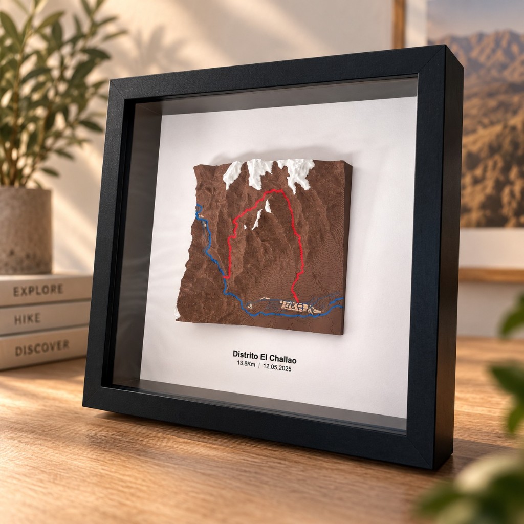
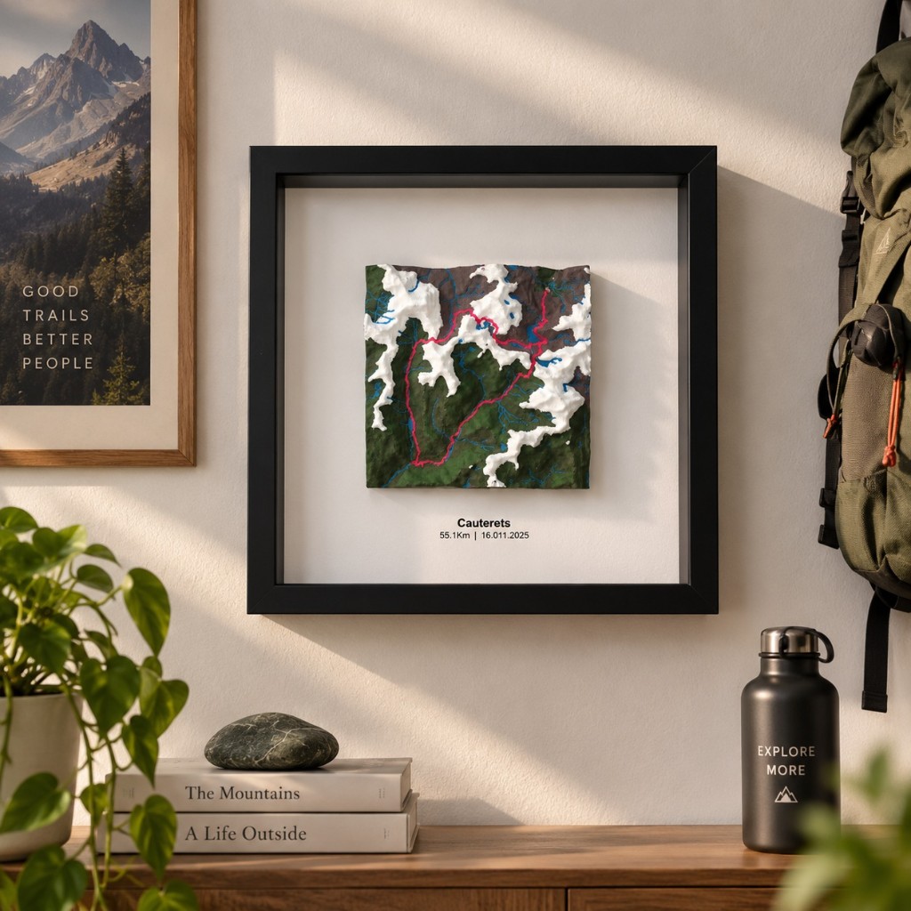
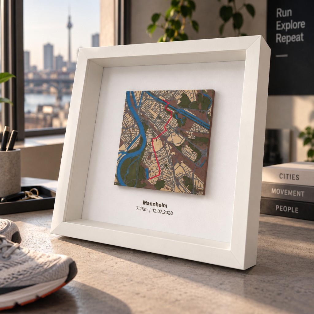
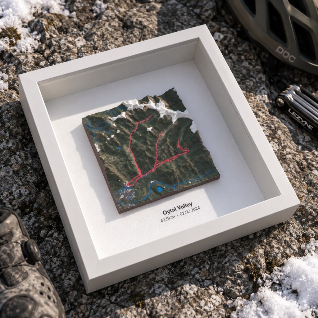
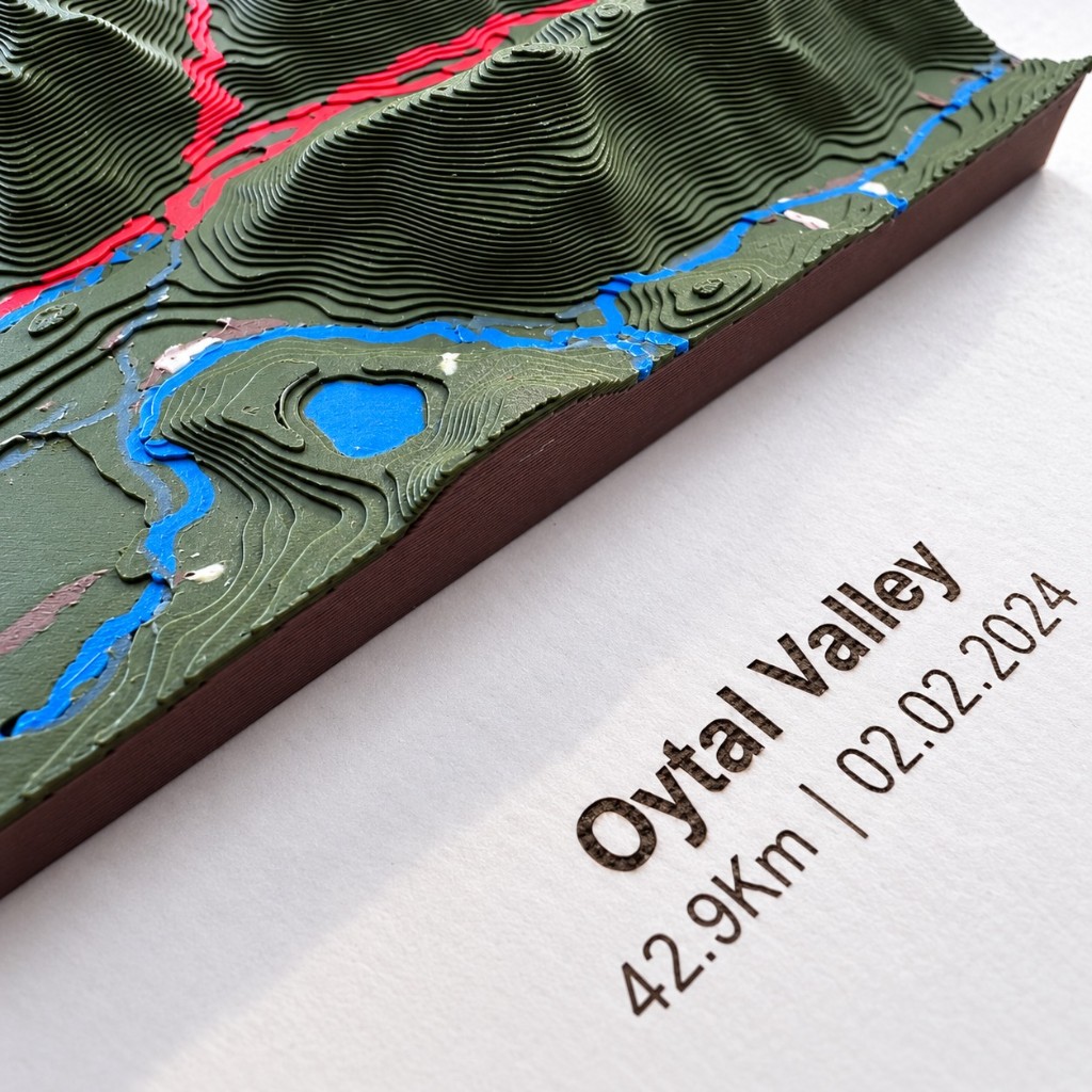
Turn a special route into a relief map of 13 × 13 cm.
How it’s made
From a line on the map to a tangible keepsake
You choose the story. MyTerrain turns it into landscape, volume and memory.

Choose a route
Upload the ride you want to remember: a summit, a traverse, a race or a journey.

Frame the landscape
Adjust the terrain around your route until you find the perfect composition.

Shape the relief
Decide how prominent mountains, trails, water and snow should be.

Preview the result
Preview your route as a physical 13×13 cm piece inside a 25×25 cm frame.
First time?
Not sure how to export your GPX?
If your route is in Strava, Garmin or another app, we explain step by step how to download the file before creating your relief map.
Create yours
Start with your route
Upload your GPX, connect Strava, or search a place. Then we take you to the 3D map creator.
Loading… + shipping by country
Production full
We can’t accept more map orders right now. Leave your email and we’ll notify you once when capacity is available again.
Upload GPX
Export your activity from Strava, Garmin, Komoot or another app and upload it here.
Drop your route here
or select the file
A multi-day trip? Select several GPX files and we’ll join them into one route.
Connect Strava
Choose a GPS activity from your Strava account.
Search a place
No route. Pick a town, city or area — you can adjust the area afterwards.
Don’t have the GPX yet? How to export from Strava, Garmin…
Your GPX, Strava data and place searches are used only to generate your map. We don’t share them.
Recognisable landscape
The relief keeps the real shape of mountains, valleys, coast and trails so the place feels familiar.
A specific story
Not just any map: it’s your ascent, your race, your trip or that ride worth keeping.
Made to gift
An intimate, elegant format: small, frameable and easy to turn into an object with presence.
Before it’s physical
Preview the composition in a 25×25 cm frame and adjust details before finishing.
Inspiration
Routes worth keeping
Summits, traverses and journeys turned into landscape.